

Mapping the surface of Mars with Machine Learning Workflows
Challenge
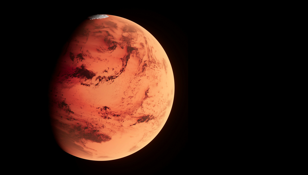
The surface of Mars contains a record of how its planetary climate has changed over time. Ordinarily, mapping geographic features - in this case Transverse Aeolian Ridges - requires very high-resolution images that are analysed by researchers with crestlines being traced and their orientation measured. This works well for small sample areas but not for large scale datasets, restricting the ability to map a whole planet.
A full planetary scale survey would require measuring millions of ridges. Even if it took just a few seconds per feature, it would take many years, potentially decades to complete. Artificial Intelligence and high performance compute can be used to analyse planetary imagery, at scale and at speed.
Solution
Over the past decade, researchers have explored how Artificial Intelligence (AI) could be used to map these geological features.
Earlier work led to the development of deep learning systems capable of recognising geomorphological patterns directly in orbital images. The MarsDL project extended this approach to planetary scale.
We focused on scaling the machine learning workflow so that it would run efficiently on data centre infrastructure. By adapting the processing pipeline and ensuring consistency in data preparation, triage, augmentation, and benchmarking, we were able to speed up the pipeline's performance.
Impact
Over 6 months, the model processed 7,000 HiRISE images, producing a catalogue of approximately 14 million candidate Transverse Aeolian Ridge detections, the largest dataset of its kind. Automatic detections were compared with manually produced datasets. The comparison shows that the model reliably produces the ridge orientation measurements.
These insights support atmospheric modelling and have applications in exploration, including landing-site assessment and mission planning. AI and data centre level computing also have a central role in analysing large scientific data sets.